Anakopia. Fortifications above the Black Sea
The upper citadel of Anakopia stood on the summit of Mount Iveria above New Athos. The fortified town's walls enclosed part of the southern slope. This album pairs watercolors with archaeological diagrams and descriptions from Georgian scholarship.
Watercolors
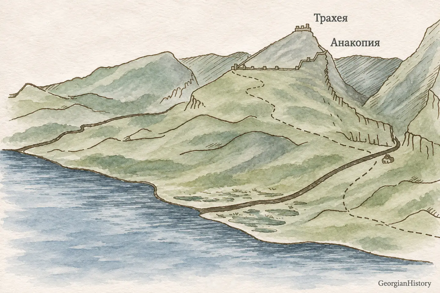
A view of the mountain and its fortifications from the coast. Labels in the watercolor: “Trachea” and “Anakopia.”
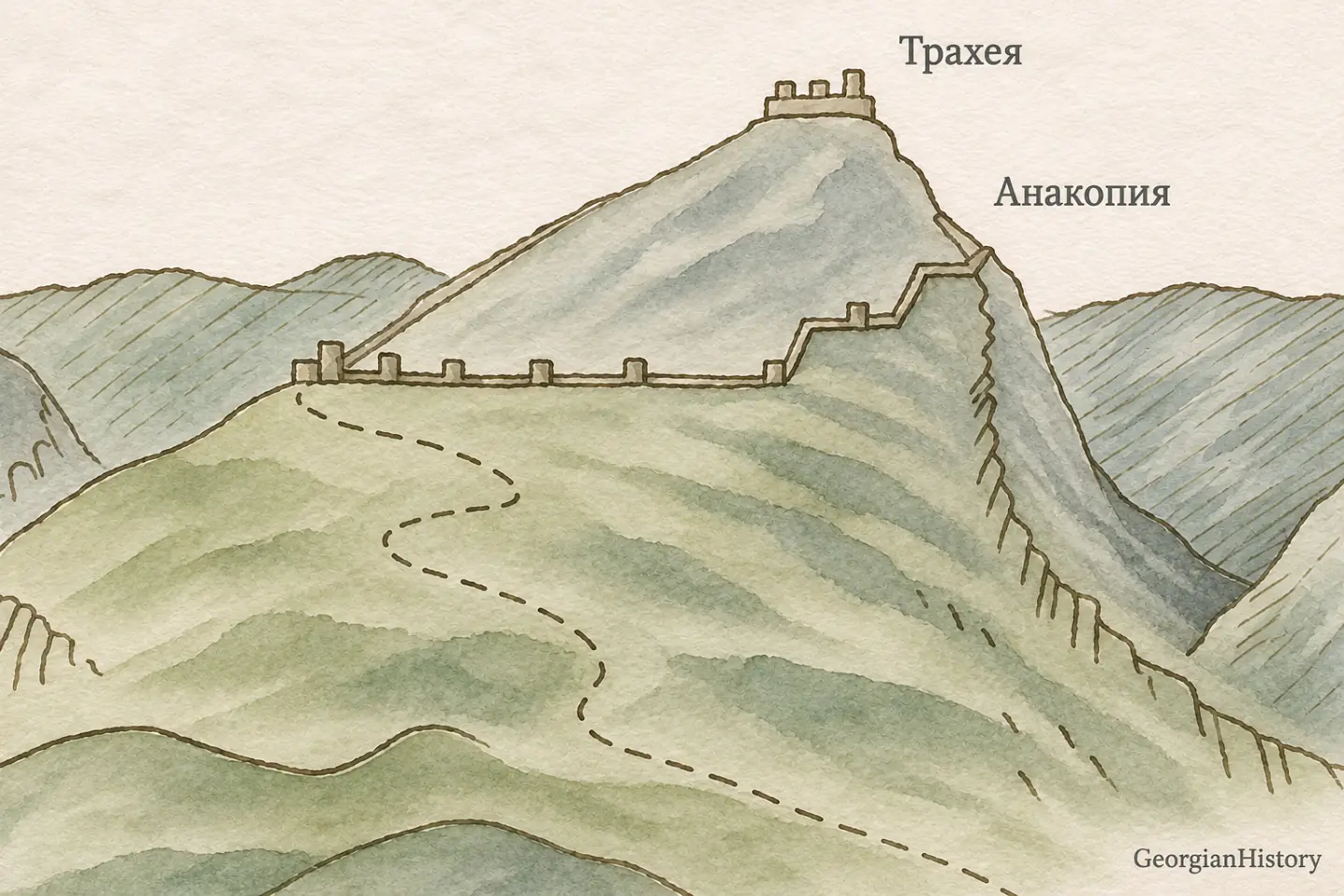
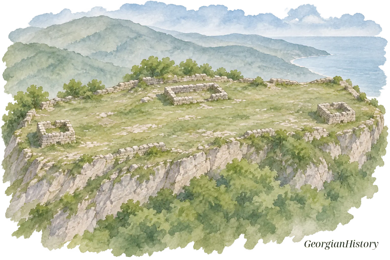
The summit fortification and the line of the wall farther down the slope. Building forms are shown schematically.
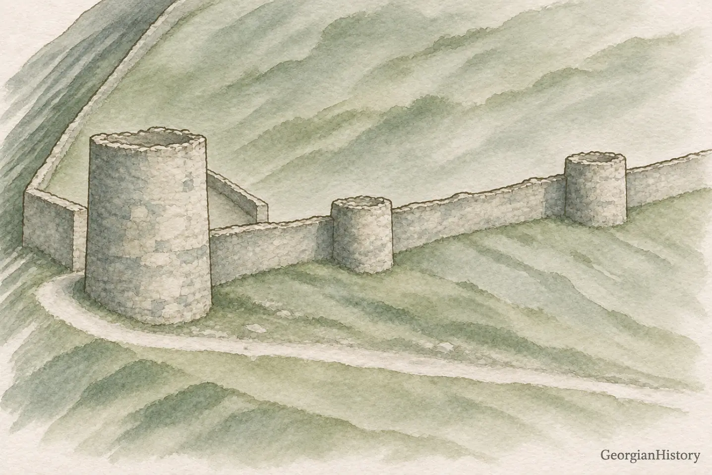
The round gate tower and the stretch of the second defensive line as far as Tower 3. Wall and tower heights and the appearance of their upper sections are approximate.
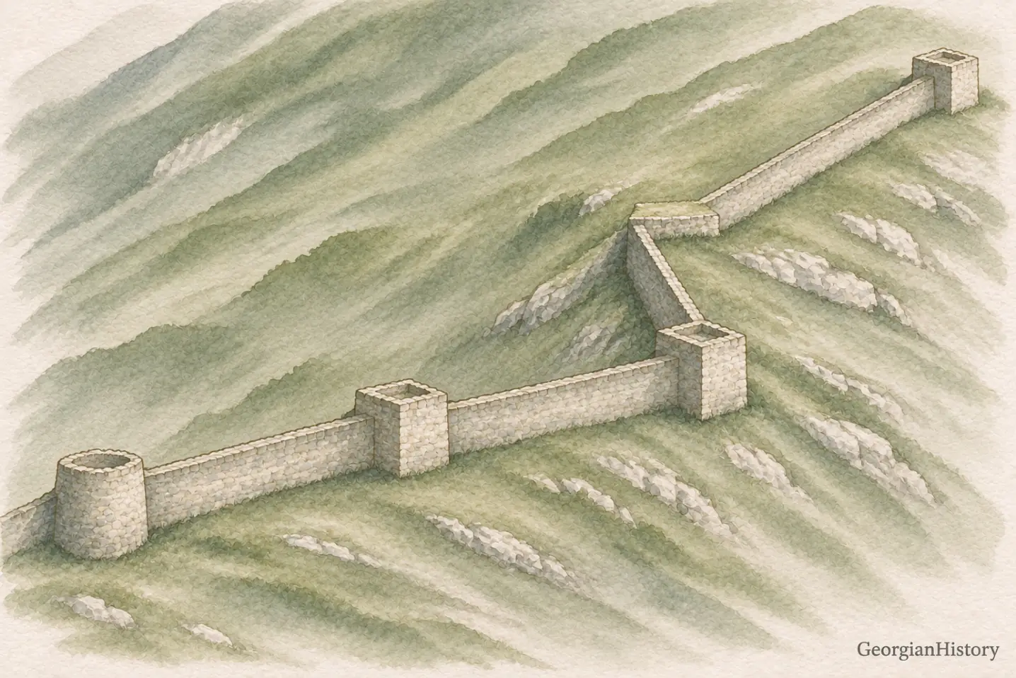
Towers 4–7 of the second defensive line. At Tower 6 the wall turns and climbs the slope. The upper edges and differences in height are approximate.
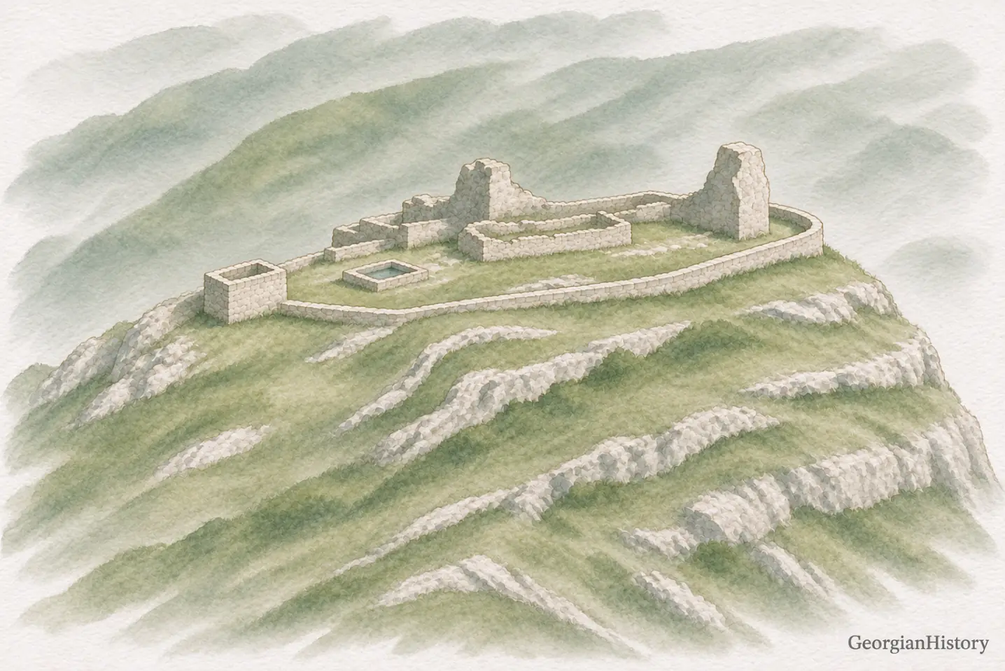
The elongated summit enclosure, the western and eastern towers, the church and the cistern. The watercolor brings together structures from different periods.
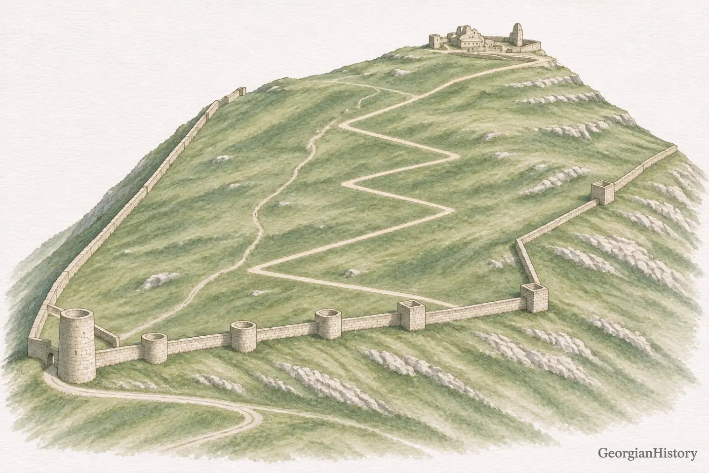
The upper citadel, the seven towers of the second defensive line and the road to the summit. The dimensions and appearance of the fortifications are approximate.
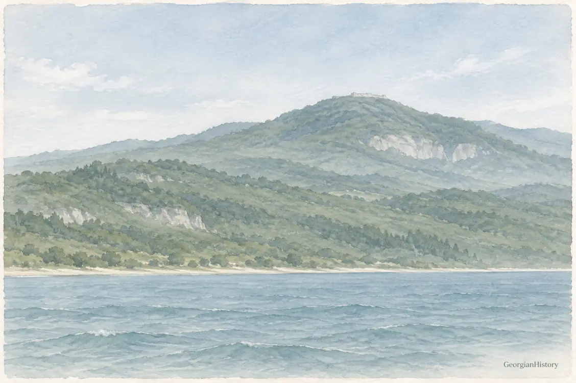
An artist’s view from the Black Sea based on descriptions of the site. The outlines of the mountain and coast are approximate.
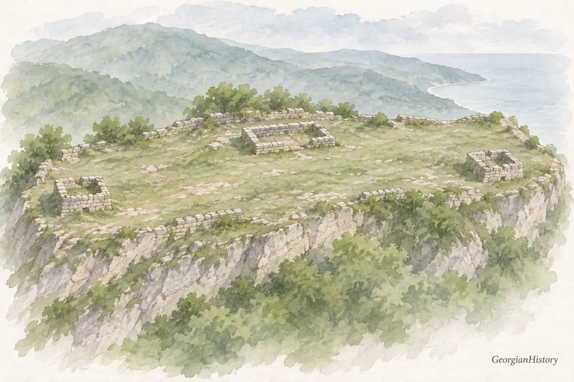
Two towers stand within the enclosure, and the outline near its north side marks the church. The masonry, cliff profile and height of the ruins are approximate.
Anakopia above the Black Sea
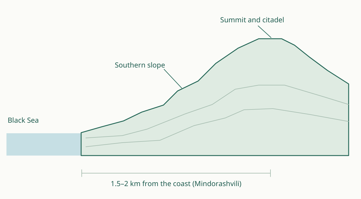
The fortress occupied the summit of Mount Iveria and part of its southern slope. Davit Mindorashvili places the complex about 250–350 m above sea level. The 1957–1958 excavations led by M. Trapsh found that the fortified area covered about 7 hectares. The profile illustrates the rise from the coast to the summit. The outline and distances are schematic. [1][3]
Dimensions of the Upper Citadel
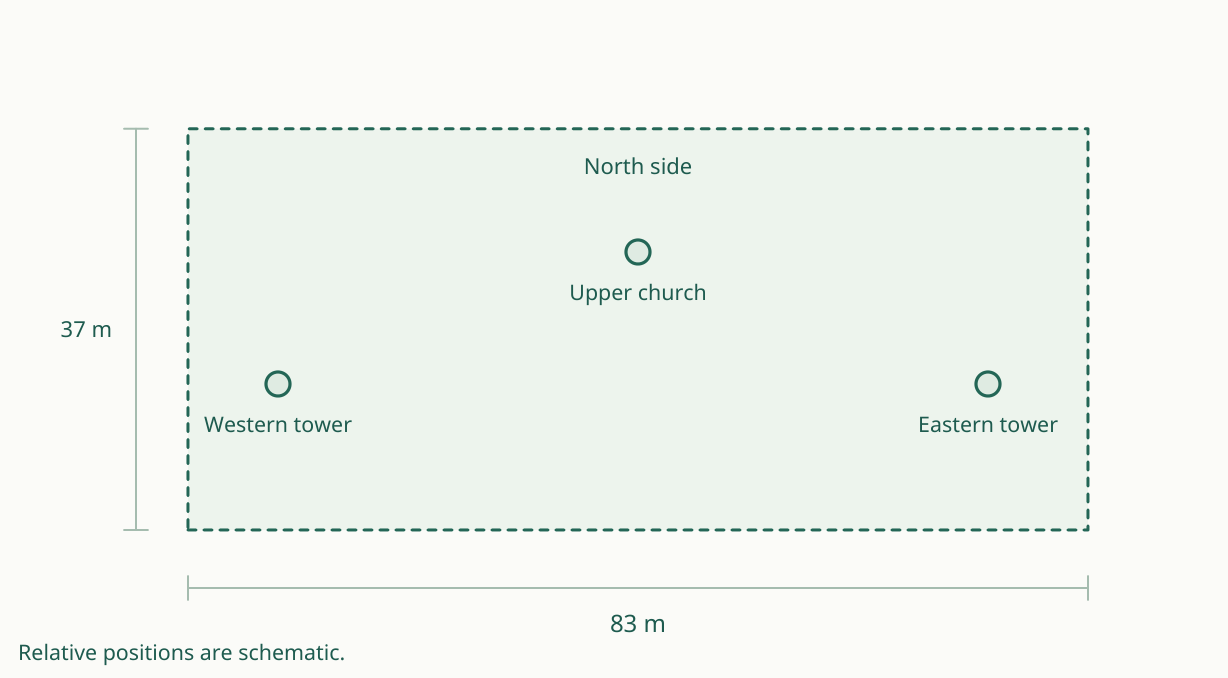
The rectangle represents the 83 × 37 m enclosure. Mindorashvili gives a wall thickness of 1.2 m and a surviving height of 4–5 m for one stretch. Both towers stood inside the citadel, detached from its wall. He considers the western tower earlier. Berdzenishvili places the upper church by the north wall, roughly halfway along the citadel. Mindorashvili also records a stone cistern. The diagram leaves its precise position and the height of the remaining wall sections open. [1][2]
The Second Defensive Line
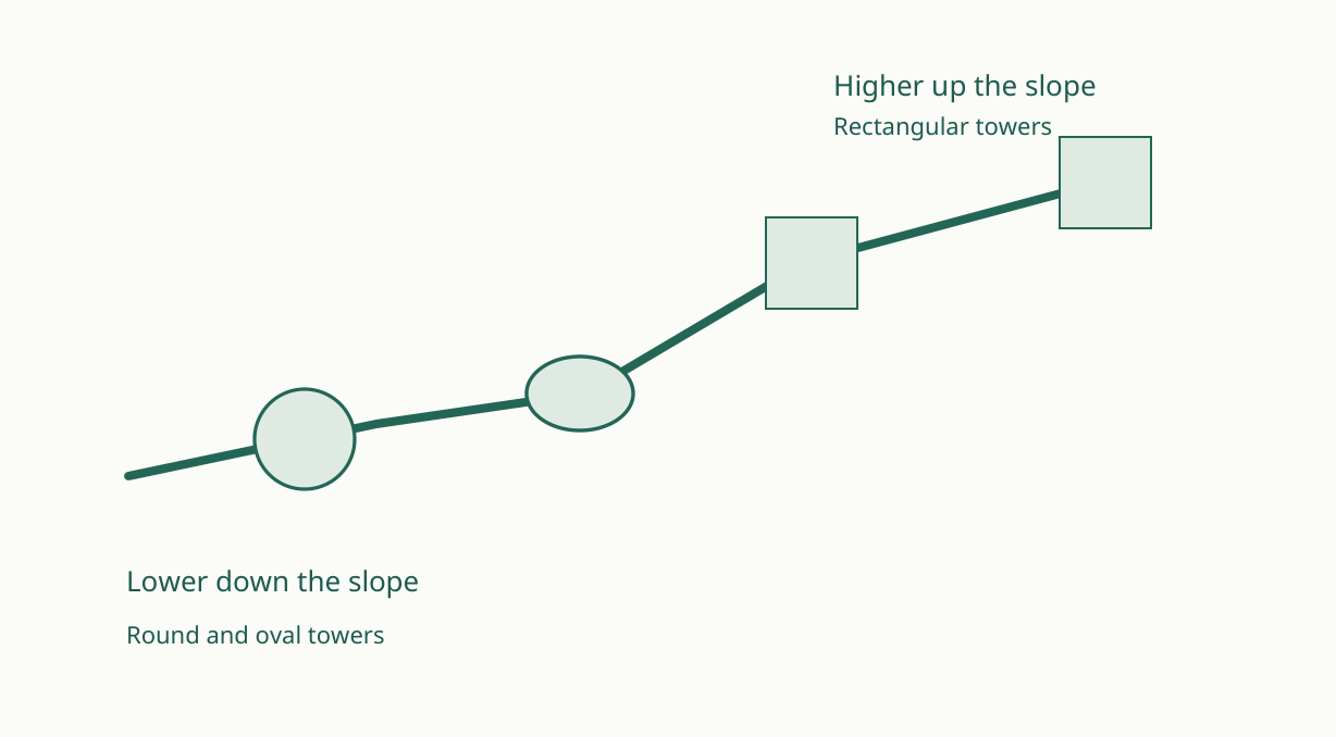
Mindorashvili describes seven towers along the southern wall, spaced at varying intervals. The lower towers were round or oval, while those farther uphill had rectangular plans. Relatively small stones formed the outer facing, with smaller rubble set in lime mortar at the core. The four symbols illustrate tower types. Their spacing and the turns in the wall are schematic. [1]
The Gate Complex
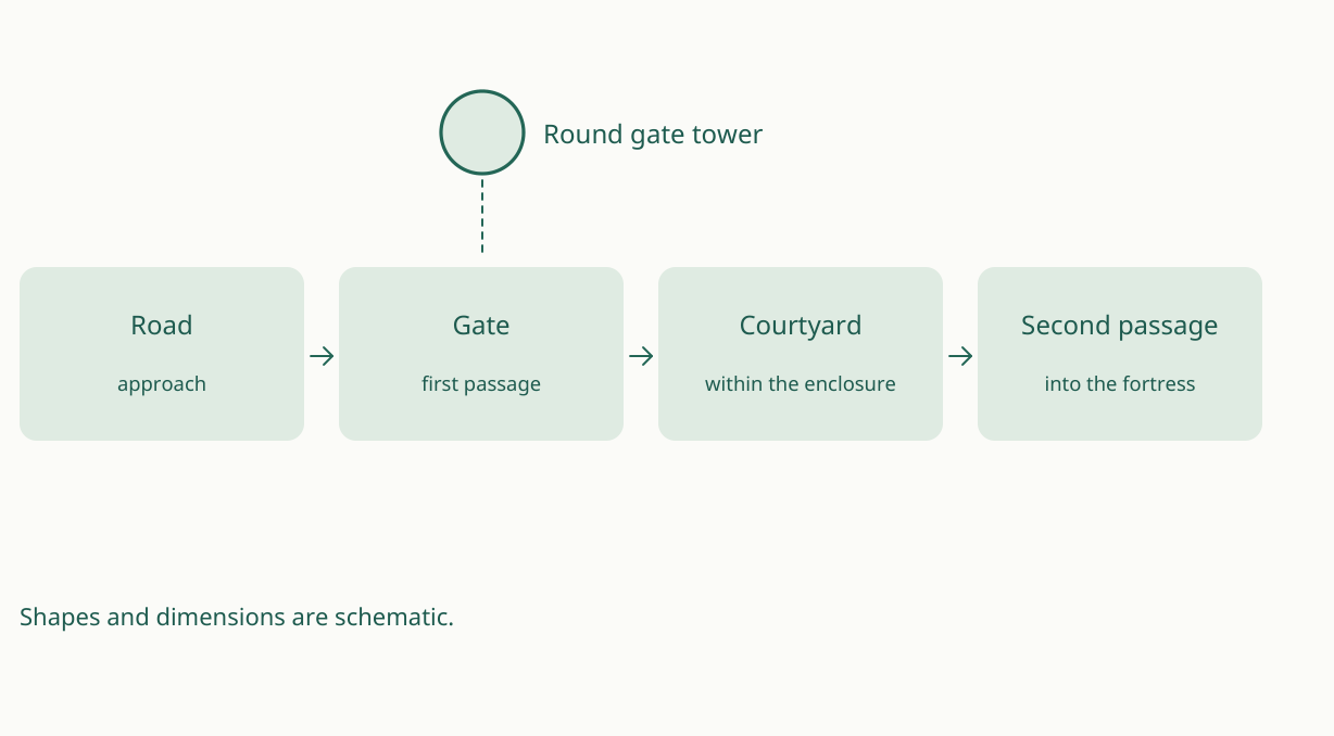
A large round tower at the western edge guarded the entrance to the lower fortress. The first gate opened into a small enclosed courtyard, and a second gate led farther inside. Mindorashvili distinguishes two building phases of the gate tower. The appearance of its upper levels in the 10th century remains uncertain. The round gate tower and the western tower of the upper citadel belong to different parts of the complex. [1]
Anakopia’s Two Churches
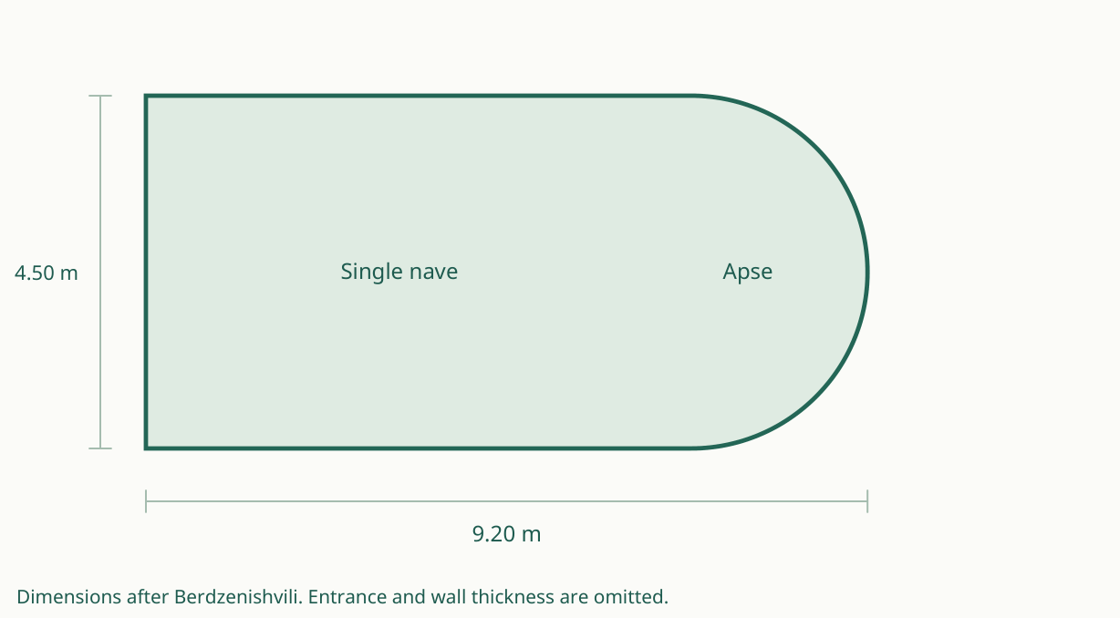
The church beside the citadel’s north wall was rebuilt several times. Berdzenishvili associates the semicircular apse with the original building. Excavations in 1957 uncovered the lower church, with a single nave, a projecting apse and traces of alterations. Mindorashvili dates the lower church to the 10th–11th centuries. He tentatively dates the upper church to the 8th century and records rebuilding in the 11th–12th centuries. The plan shows the lower church’s proportions, 9.20 × 4.50 m. The roof and façades remain uncertain. [2][1]
Sources and Dating
Mindorashvili links the first mention of Anakopia in Georgian written sources to Marwan’s campaign in the 730s. Igor Kekelia discusses different proposals for the location of Trachea, described by Procopius of Caesarea. Its identification with Anakopia remains debated.
- D. Mindorashvili. Archaeology of Georgia. Part I. Batumi, 2014, pp. 151–153. The layout and dimensions of the fortress.
- I. Berdzenishvili. On the Spread of Christianity in Abkhazia According to Archaeological Evidence. Tbilisi, 2006, pp. 63–64. The location and layout of the churches.
- O. Lordkipanidze and P. Zakaraia. “Anakopia.” Georgian Encyclopedia. The history of the site and the findings of the 1957–1958 excavations.
- I. Kekelia. Historical and Contemporary Toponymy of Abkhazia. Tbilisi, 2022, p. 67. The history of the proposed identification of Trachea with Anakopia.