Nokalakevi. The Walls of Ancient Archaeopolis
From the bend of the Tekhuri to the upper citadel. How this fortress of Egrisi was laid out and what archaeological surveys reveal about its walls.
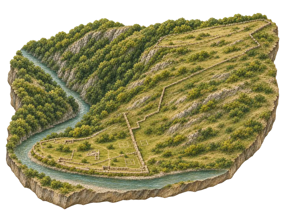
 At the foot of a wooded slope, the Tekhuri bends around a promontory. The lower town occupied a terrace close to the water, and the citadel stood high on the ridge. A wall climbed the steep slope between them. The terrain shaped the fortifications of Nokalakevi, known in Byzantine sources as Archaeopolis and in Georgian tradition as Tsikhegoji.
A fortress of Egrisi
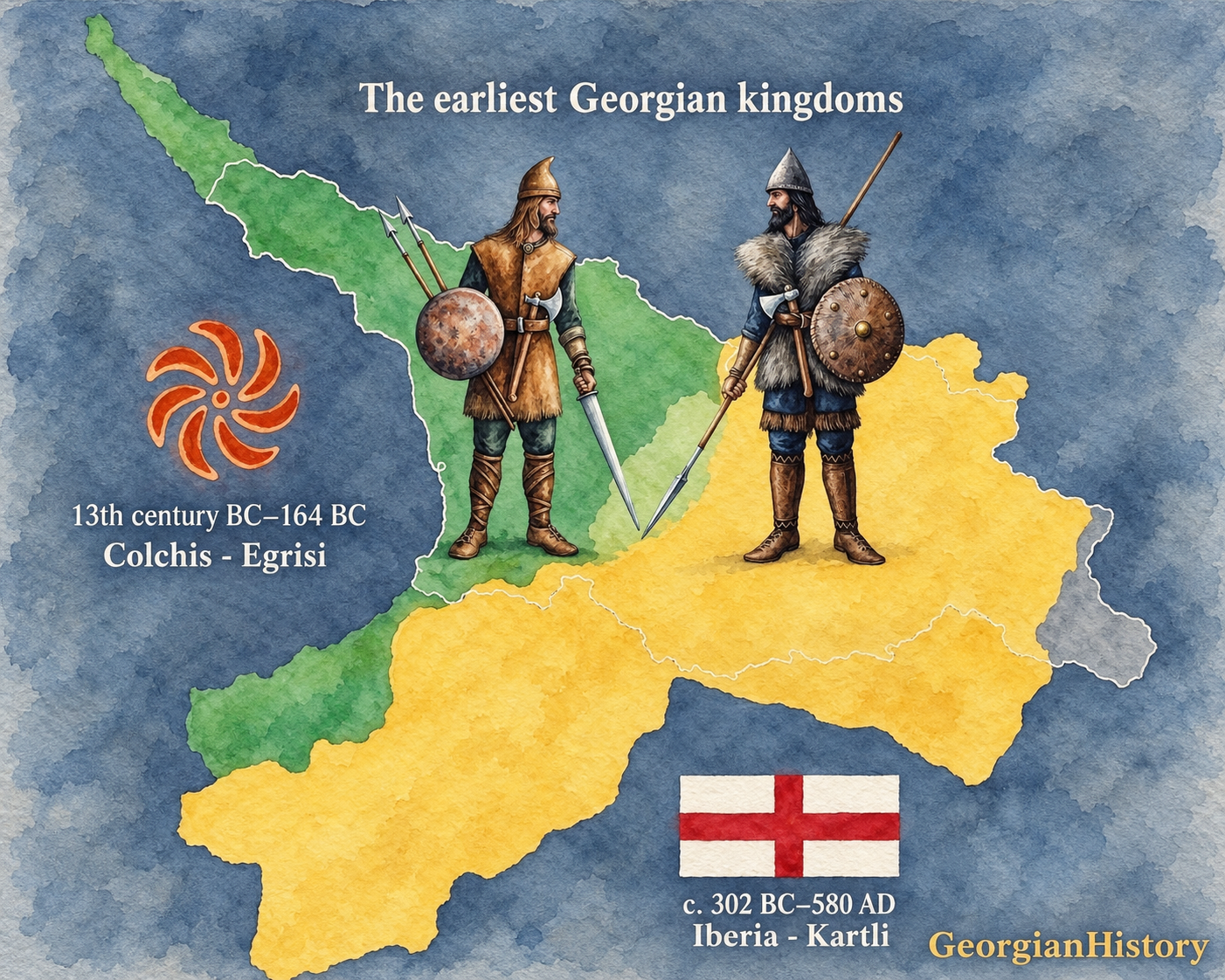
Archaeopolis was one of the principal strongholds of Egrisi, also known as Lazica. The earliest surviving fortifications date to the fourth century. The walls were reinforced in the fifth century, and in the sixth the eastern entrance and its approach were remodelled. Archaeopolis withstood attacks by Persian forces during the war between Byzantium and Sasanian Iran over Lazica.
From the riverbank to the ridge
The eastern fortifications blocked the landward approach to the lower town. The southern wall followed the Tekhuri, and the gorge added to the defences near the western promontory. The hillside wall changed direction several times on its way up to the citadel. The 2009 survey also records the elongated outline of the upper enclosure. The four plates in the album let readers follow these sections individually.
What survives
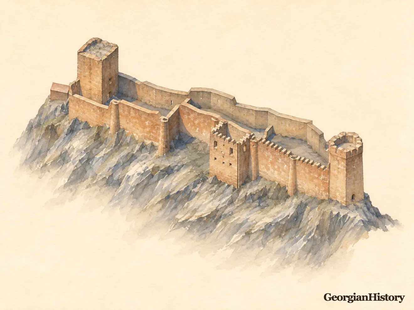
The field survey records where masonry lies. Aerial photographs show how the walls sit in the terrain and where vegetation obscures them. A gap in a published line may indicate missing masonry, concealed remains, or a gap in the record. Crenellations on part of the eastern wall date from twentieth-century conservation work. The original heights and the form of the wall tops remain uncertain.
The overview presents the terrain at an angle, so the line from the river to the citadel can be read in a single view. The second drawing depicts the modern site as recorded in aerial photographs from 2016. Together with the album, the drawings show which details can be traced to the sources and where artistic interpretation begins.
What Nokalakevi looks like today
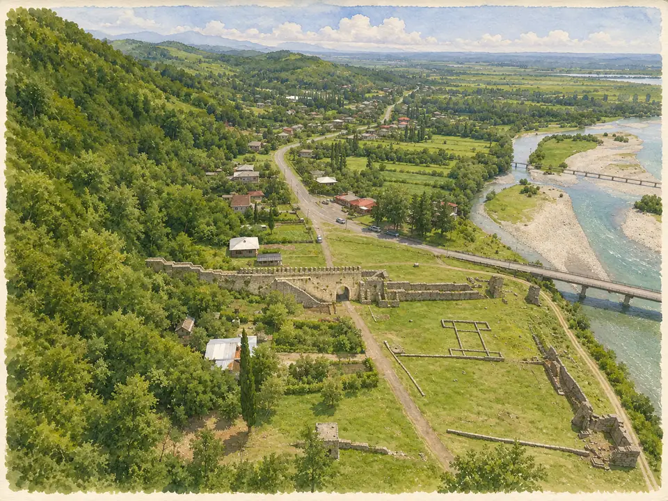
The Surviving Walls of Nokalakevi
Four plates based on the archaeological expedition’s records.
Download the album (PDF, three languages)