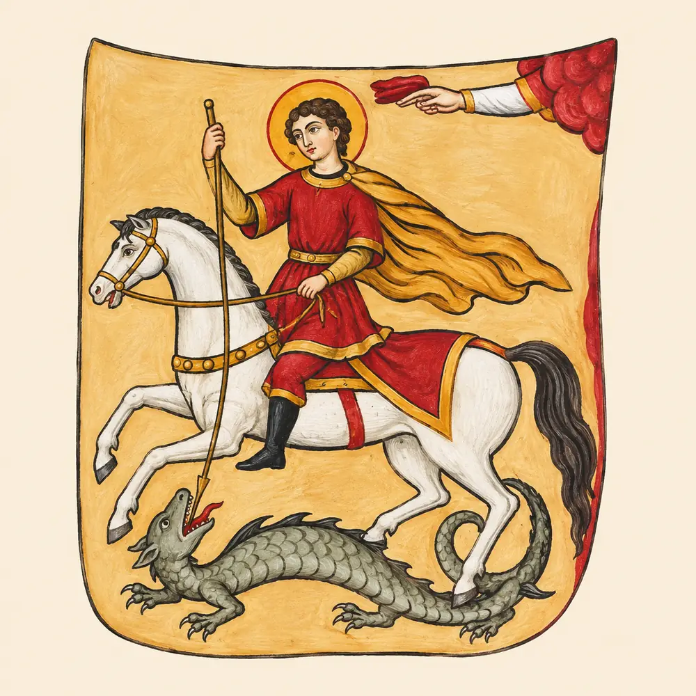
Heraldry
The Heraldry of Vakhushti Bagrationi
Three emblems of Georgia and thirteen more for kingdoms, principalities and lands on a 1735 map of the Caucasus.
Read the storyJournal section
Historical geography, campaign routes, and borders with commentary.
A political map of the Caucasus, Europe and the Middle East in 1210. Other sheets cover relief, regions, campaigns, churches and languages. The cards include dates and sources.
Open the interactive atlas3D reconstructions on the church map →Historical maps
An illustrated historical reconstruction by GeorgianHistory
The outer line marks the extent of the illustration. Internal boundaries are approximate. Flags, animals and other emblems are artistic motifs.
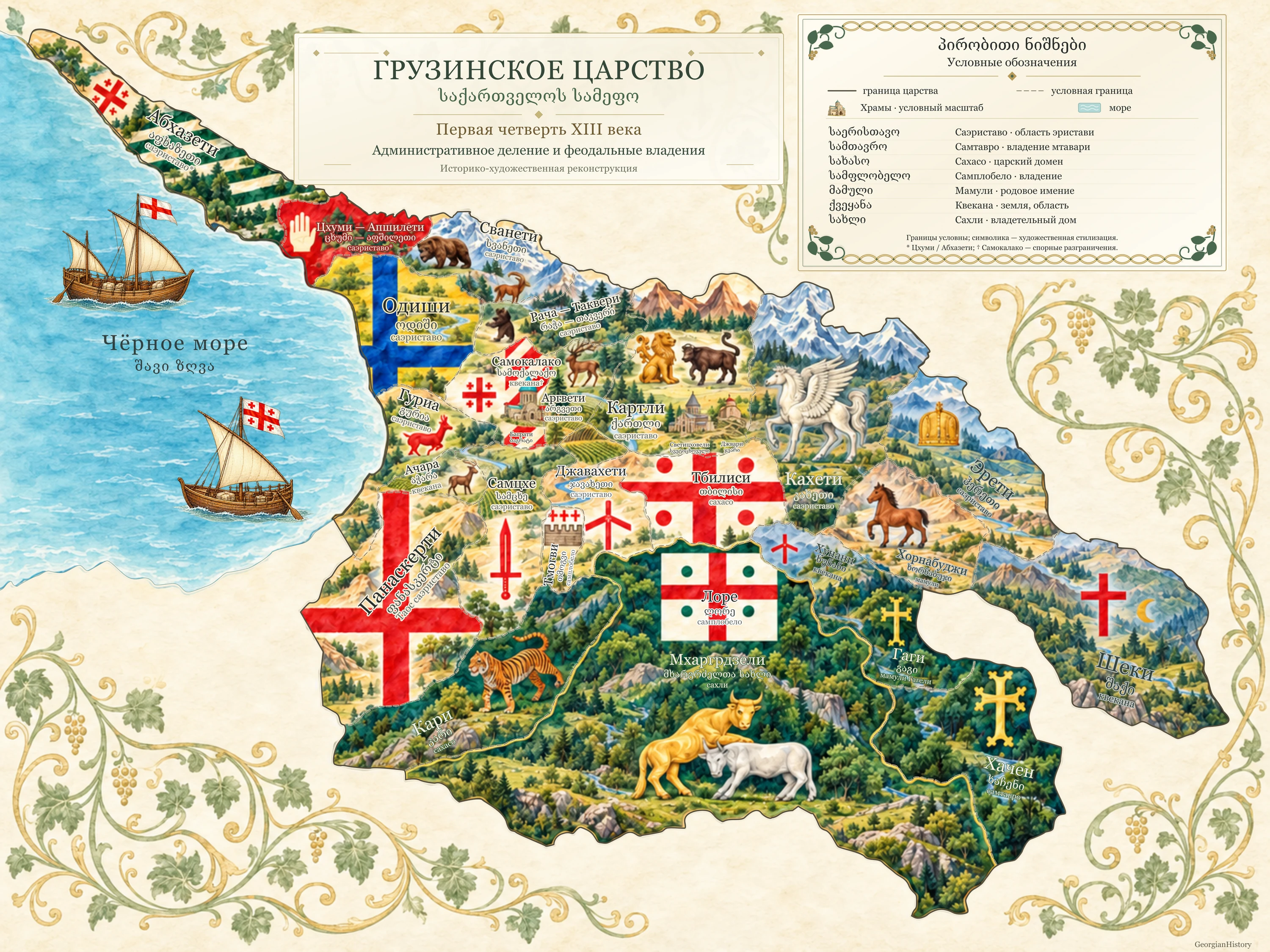
This watercolour depicts historical regions, cities and domains associated with the Kingdom of Georgia in the first quarter of the 13th century. Their political status varied and changed over time.
The artwork contains Russian and Georgian labels. The accompanying caption and legend are available in English, Georgian and Russian.
Saeristavo — district governed by an eristavi. Samtavro — a prince’s domain. Sakhaso — crown domain. Samplobelo — holding. Mamuli — hereditary estate. Kvekana — land or region. Sakhli — lineage or ruling house.
Sources attest Tskhumi and Odishi separately. Their boundaries and their relationship to Abkhazeti and Apshileti in this period require further study. Samokalako is a historical district around Kutaisi.
Kars (Kari), Lore and Gagi are historical centres. The Zakarian (Mkhargrdzeli) domains and the Principality of Khachen had different statuses. Shaki’s status and the extent of its relationship with Hereti require a separate source.
The cross with four roundels and five-cross designs are known from later, 14th-century portolan charts. The open white palm as drawn evokes modern symbolism. Odishi’s blue cross and the other local emblems are illustrative.
Heraldry
Three emblems of Georgia and thirteen more for kingdoms, principalities and lands on a 1735 map of the Caucasus.
Read the story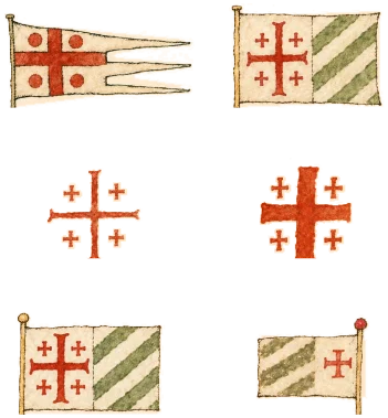
Heraldry
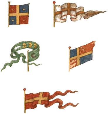
Georgian Banners · Part 3 of 6
Read the story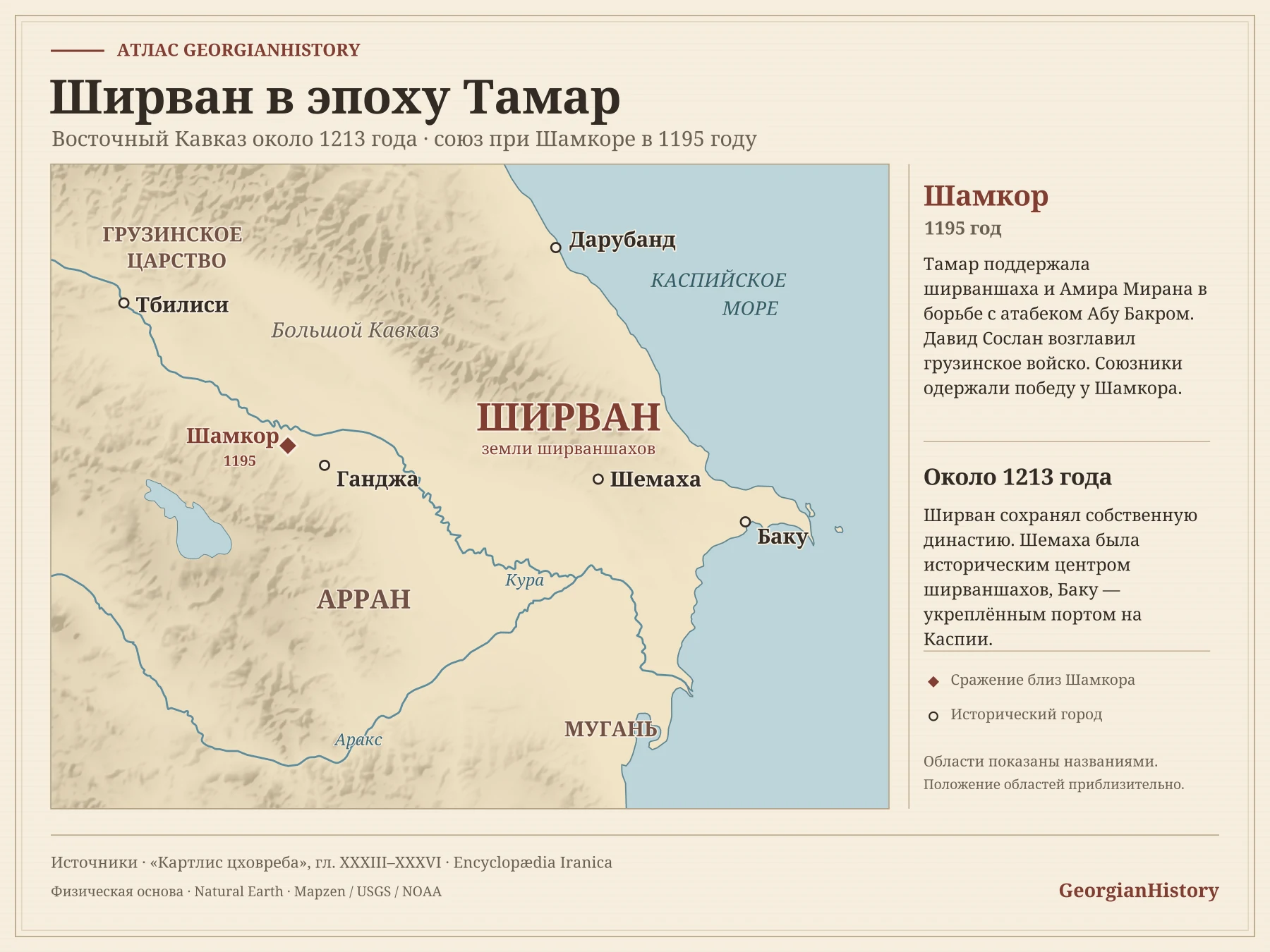
Maps
Who ruled the western shore of the Caspian Sea, why the Shirvanshah turned to Tamar, and what changed after the Battle of Shamkor.
Read the story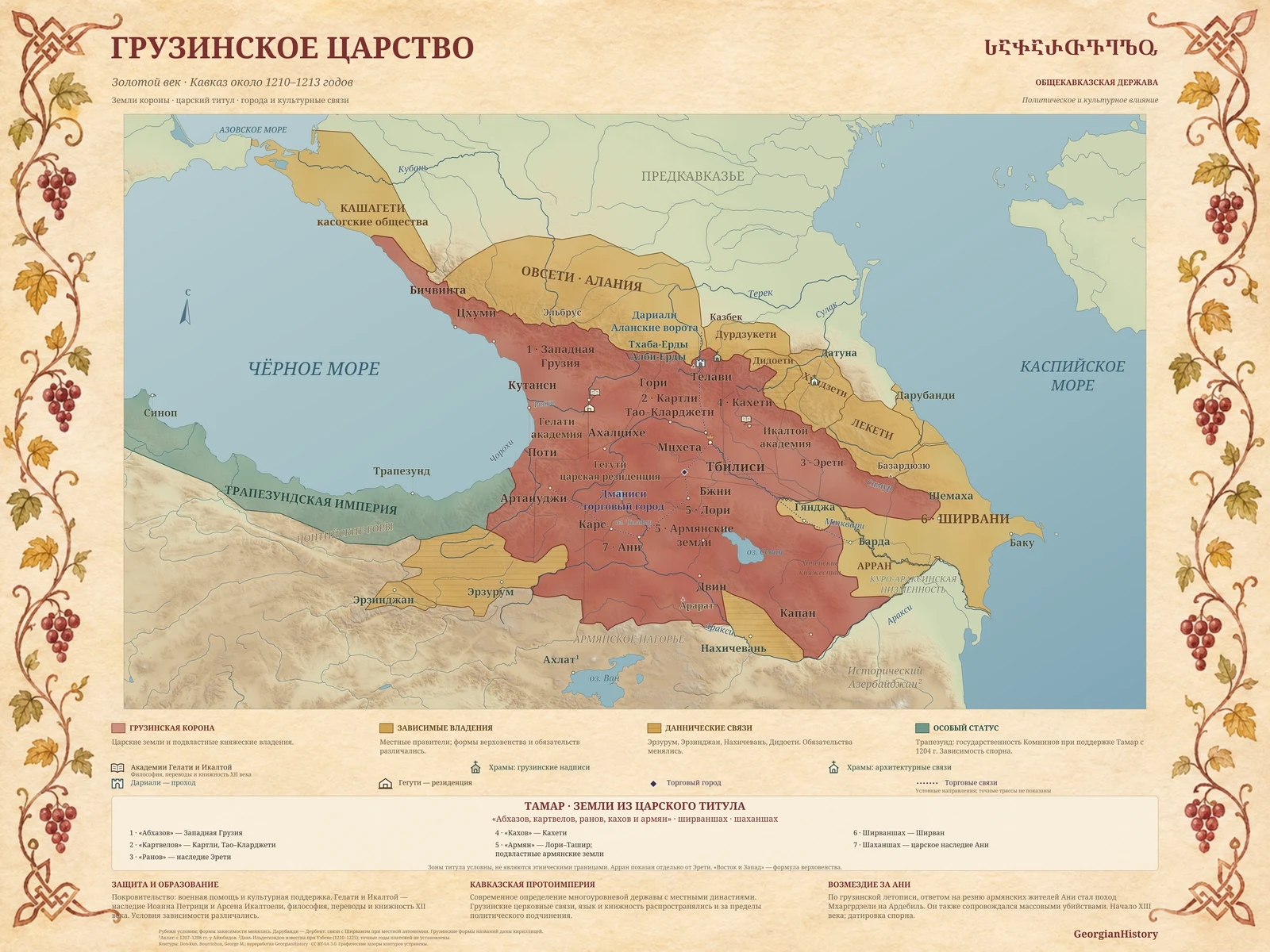
Maps
A political map of Tamar’s era showing lands of the Georgian crown, neighbouring powers, and territories linked to the kingdom. Zoom in or download the 10K map.
Read the story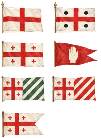
Heraldry
What 14th- to 16th-century portolan charts can tell us about the Georgian lands, and where the evidence ends.
Read the story