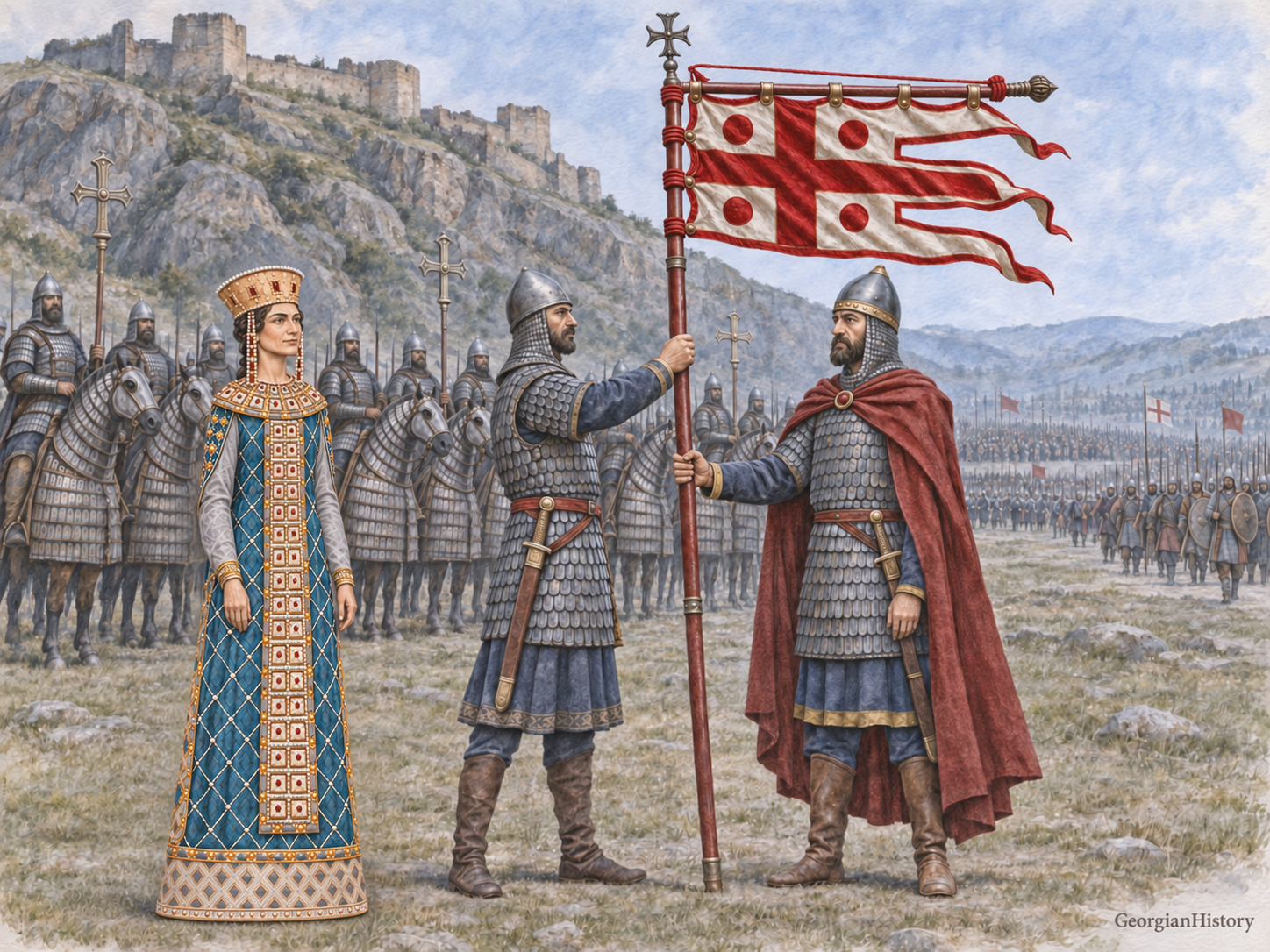
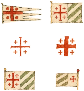
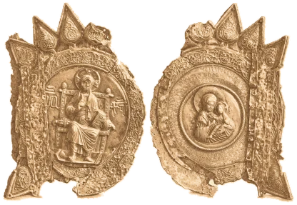
The Heraldry of Vakhushti Bagrationi
Three emblems of Georgia and thirteen more for kingdoms, principalities and lands on a 1735 map of the Caucasus.
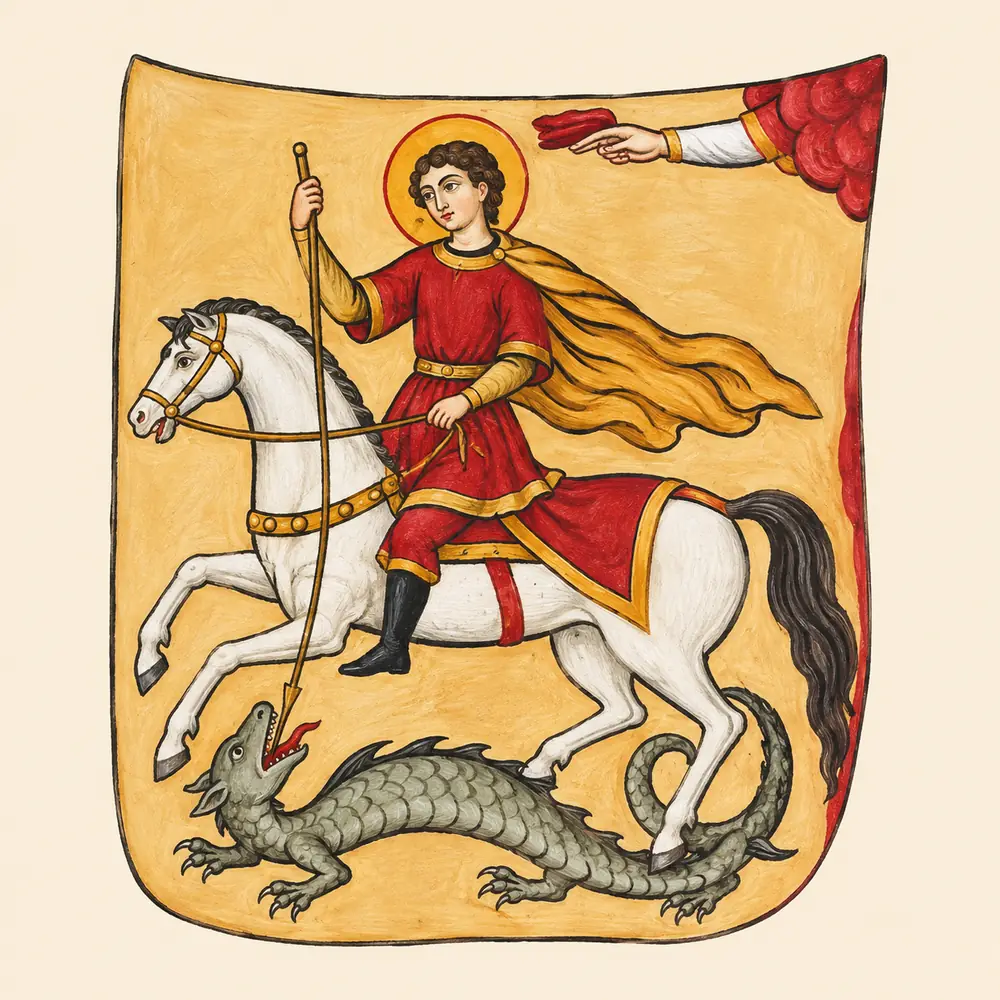
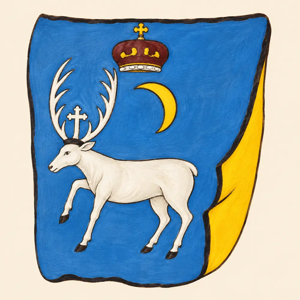
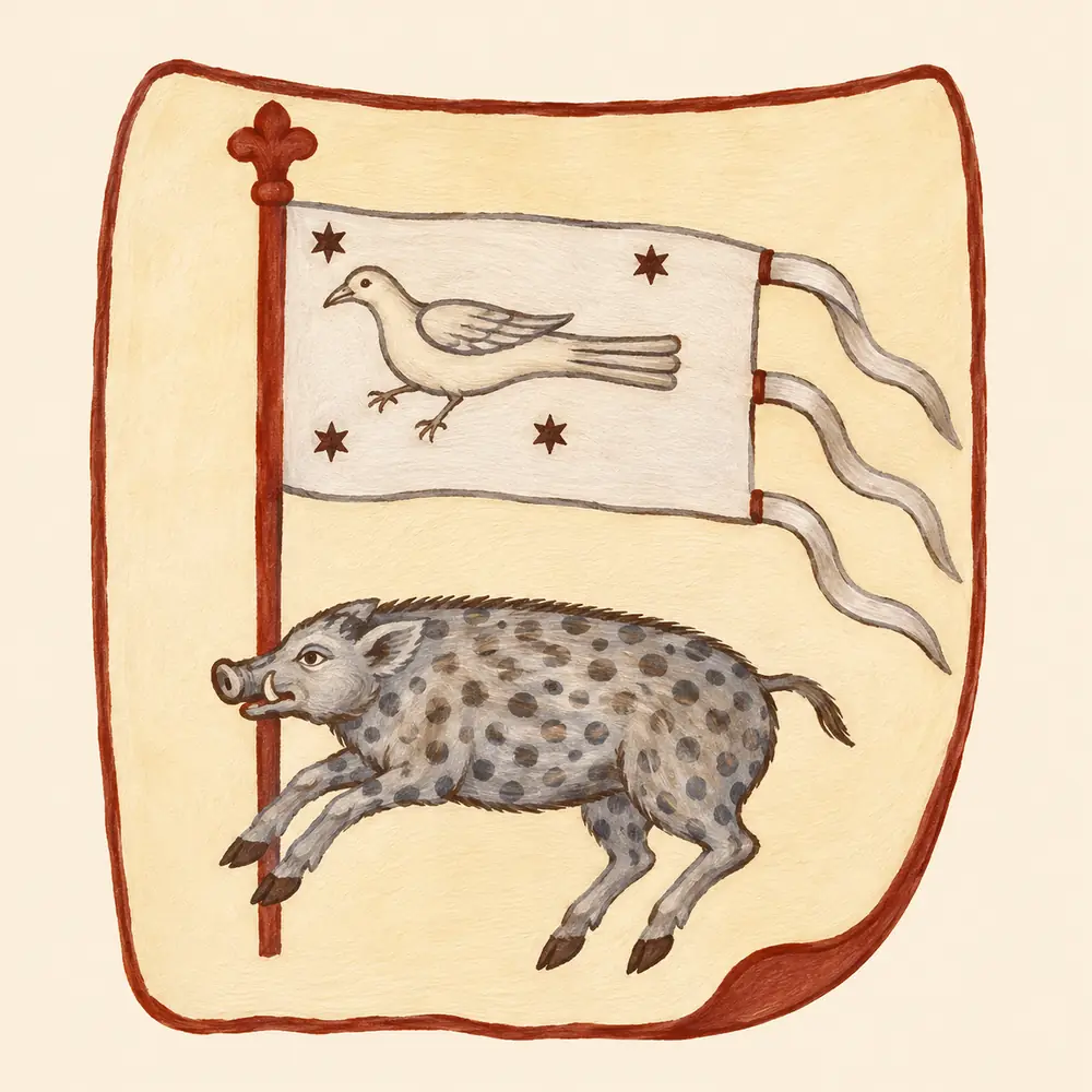
 On Vakhushti Bagrationi’s map of the Caucasus, small coloured emblems run above the rivers and mountain ranges. In one, a white stag bears a cross between its antlers. In another, a boar runs below a banner bearing a bird. Vakhushti included these drawings on a map in his first atlas, dated 1735, bringing geography and heraldry together.
Vakhushti was a historian, a geographer and a son of King Vakhtang VI. He produced several cartographic works. This selection comes from the map of 1735. UNESCO’s Memory of the World Register records his manuscript Description of the Kingdom of Georgia and his geographical atlas. Its entry illustrates the atlas of 1745. The drawings in this article follow the 1735 map as reproduced by Tornike Asatiani.
Three emblems of Georgia
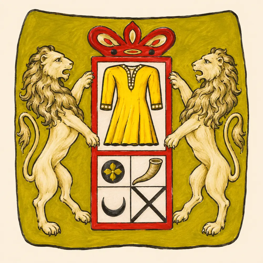
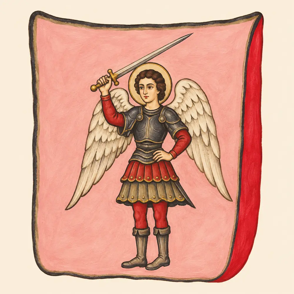
Asatiani identifies three images of Georgia on the map. Saint George rides above a dragon. In the next image two lions support a crowned Bagrationi shield with a tunic in its upper field. The third depicts the Archangel Michael with his sword raised. Vakhushti placed two heavenly patrons and a dynastic emblem in the same row.
Kingdoms on the map
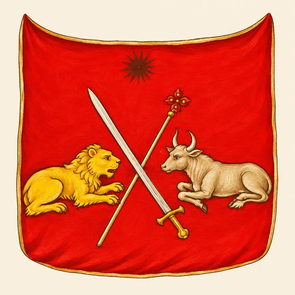
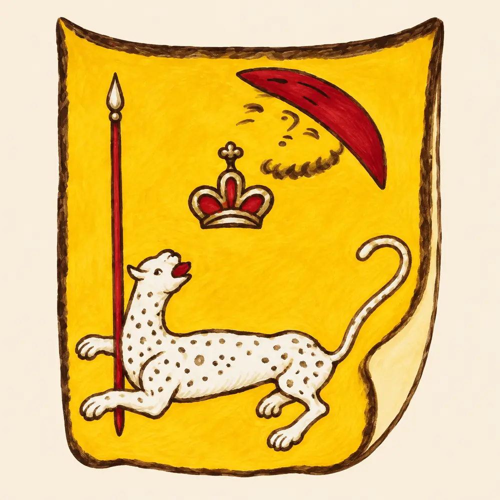
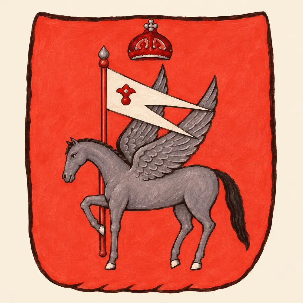
Colour and figures distinguish the neighbouring emblems. Kartli has a lion and a bull on a red field. Imereti has a white stag on blue beneath a crown and crescent. Kakheti pairs a winged horse with a banner. Armenia shows a spotted animal, a spear and a crown on yellow. Asatiani reproduces the four together in a plate devoted to kingdoms.
Principalities and lands of the Caucasus
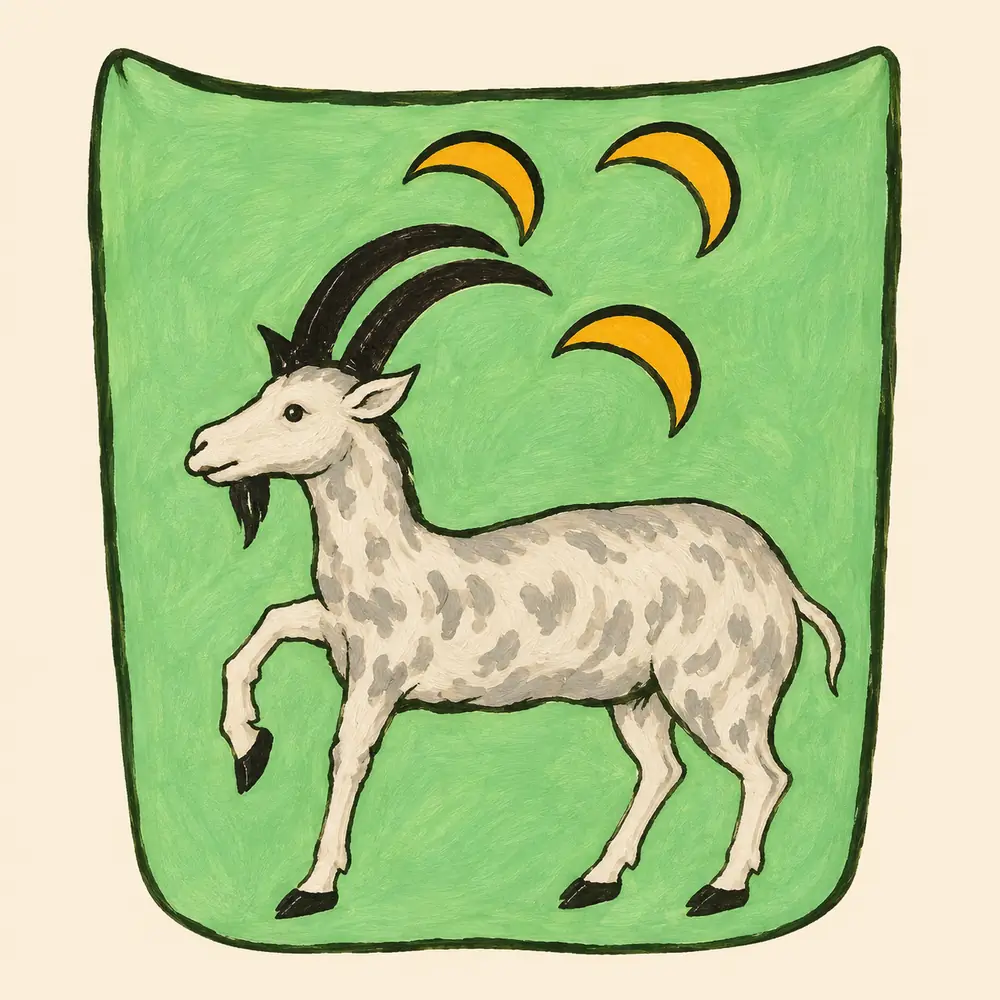
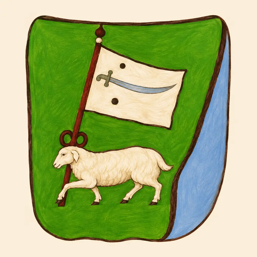
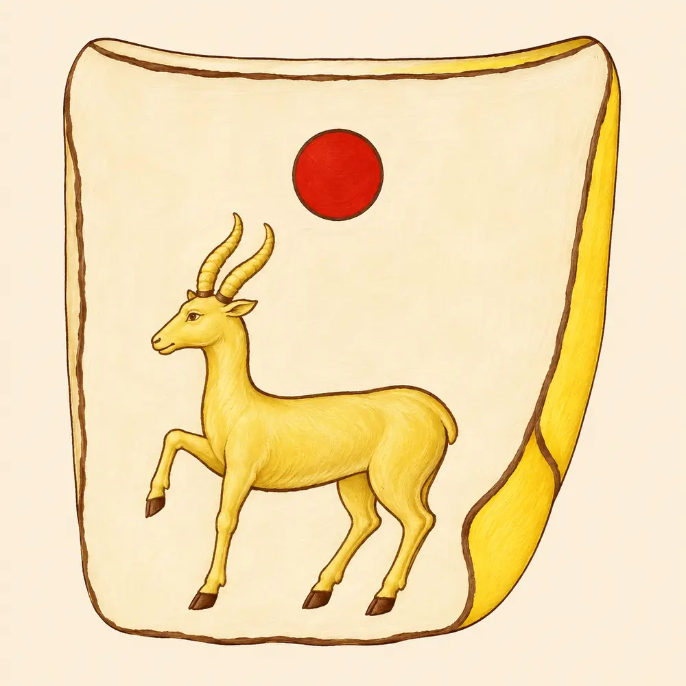
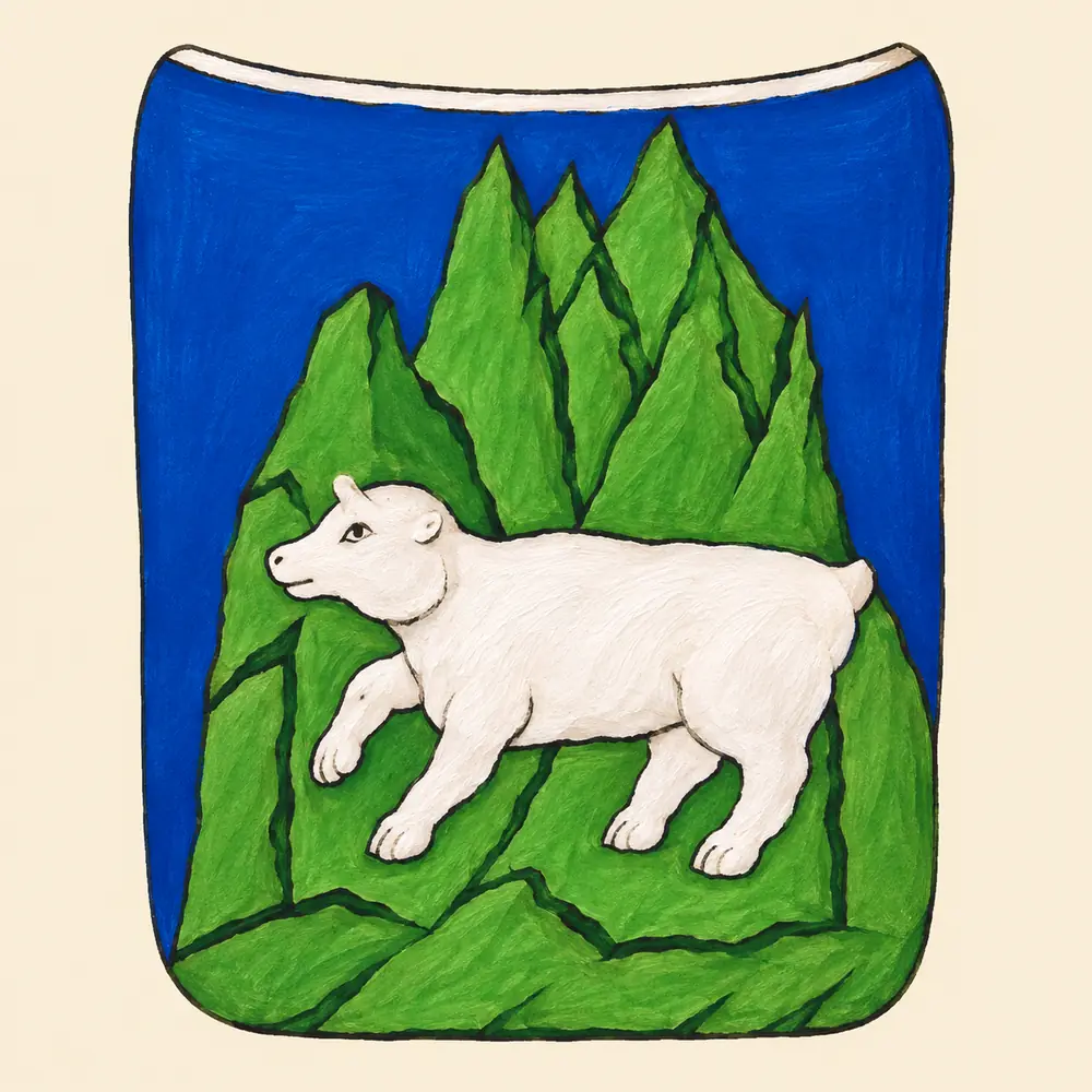
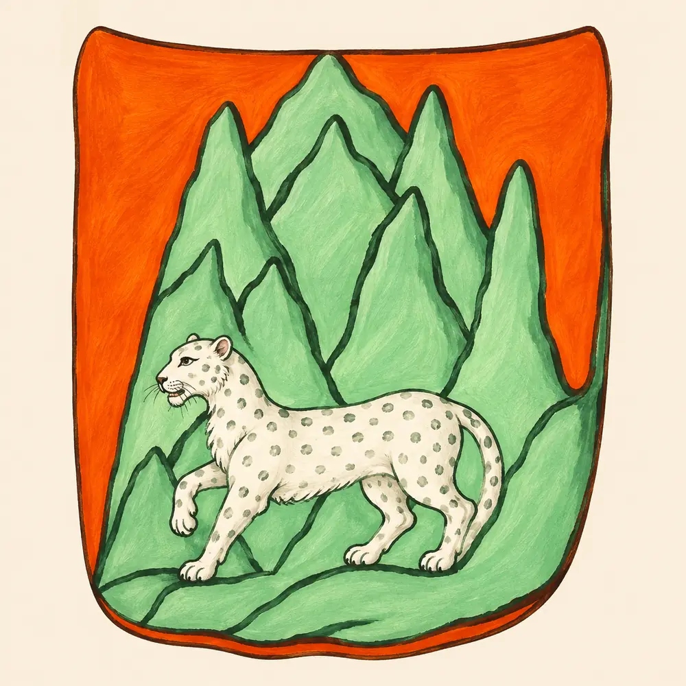
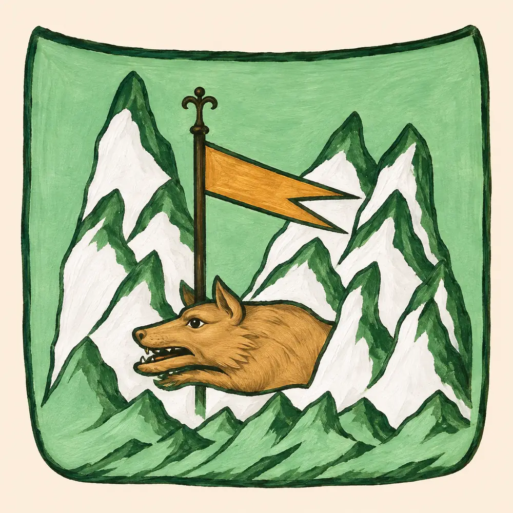
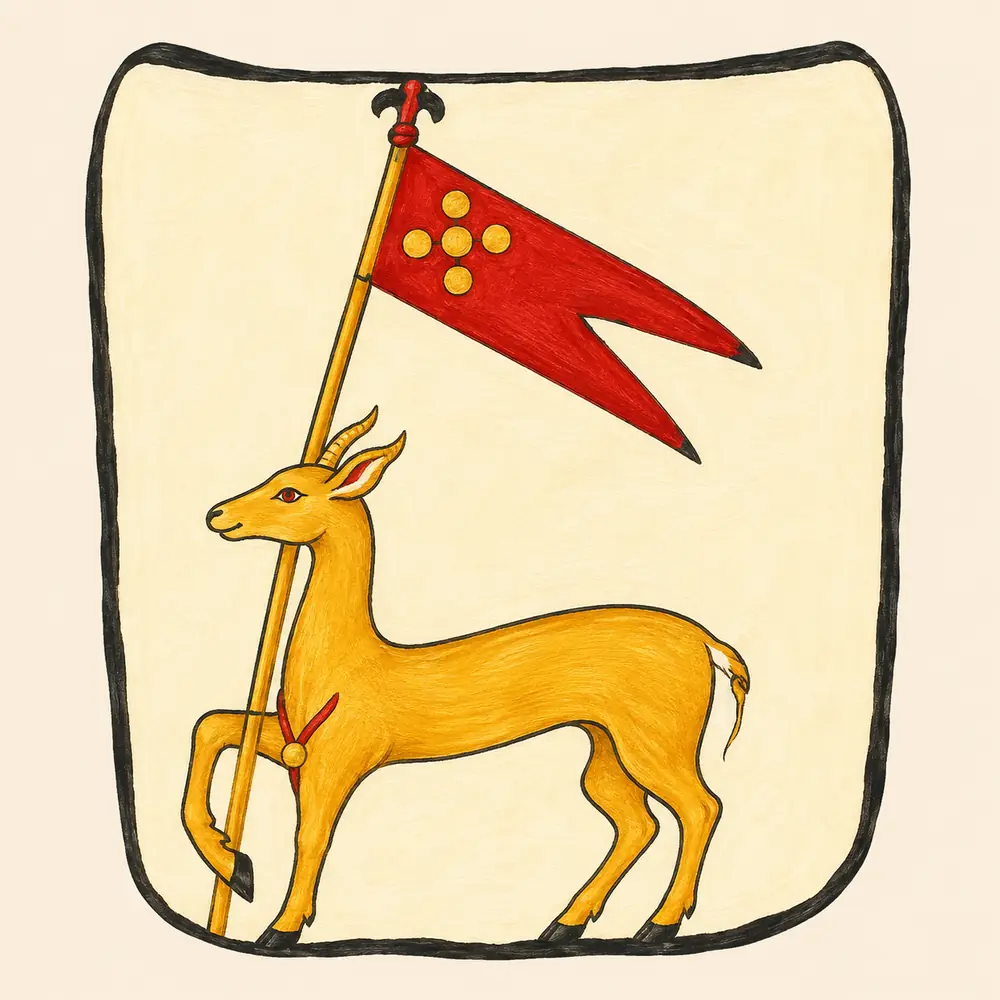
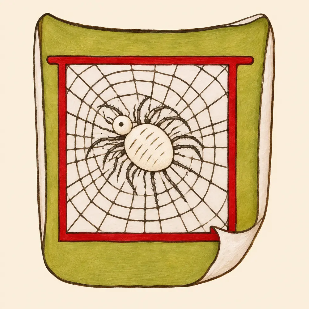
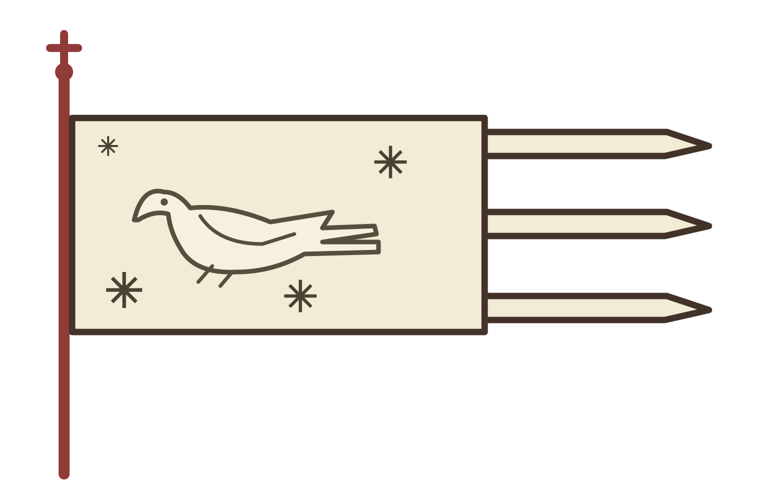
Odishi has a bird on a white banner with a boar below. Three crescent-shaped marks appear above the goat in the emblem of Abkhazia. A single red disk stands above the horned animal of Guria. Mountains form part of the Svaneti and Ossetia designs, on differently coloured fields. Shirvan is marked by a red banner, while a spider’s web dominates Ran’s emblem.
Banners in detail
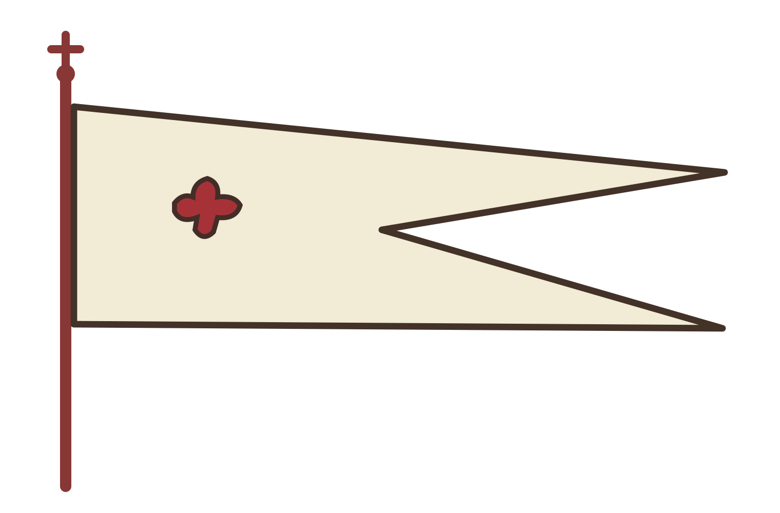
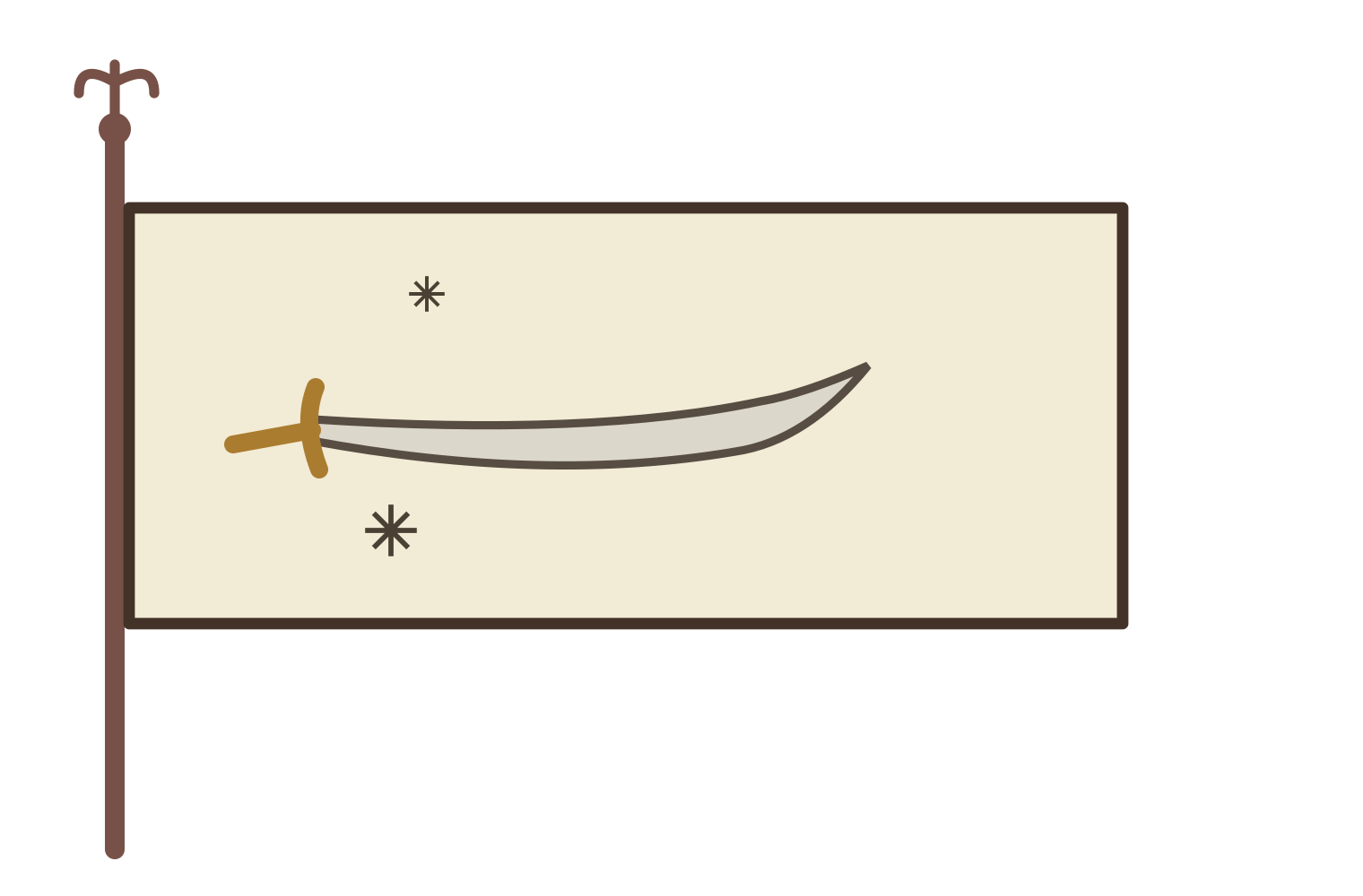
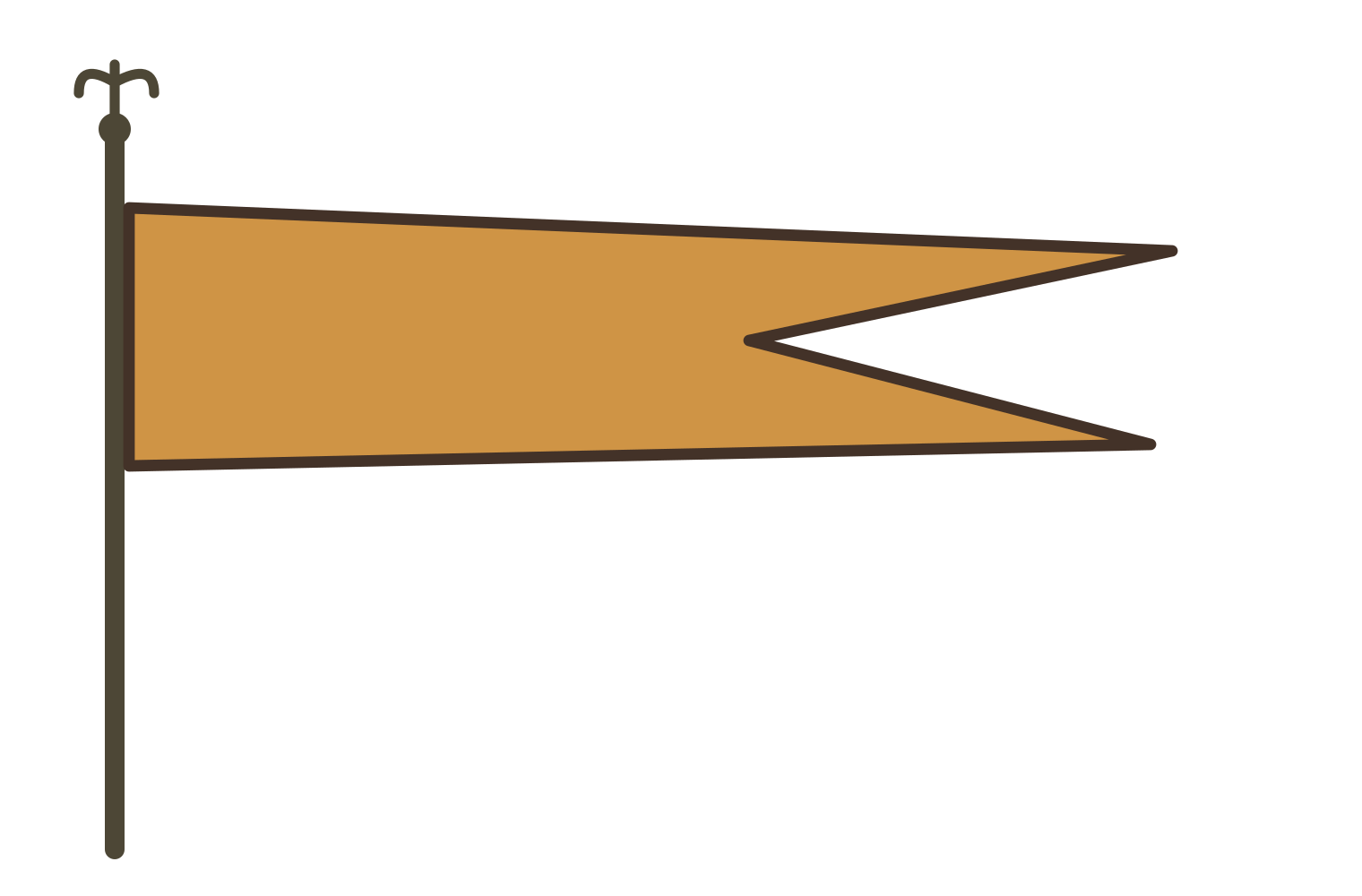
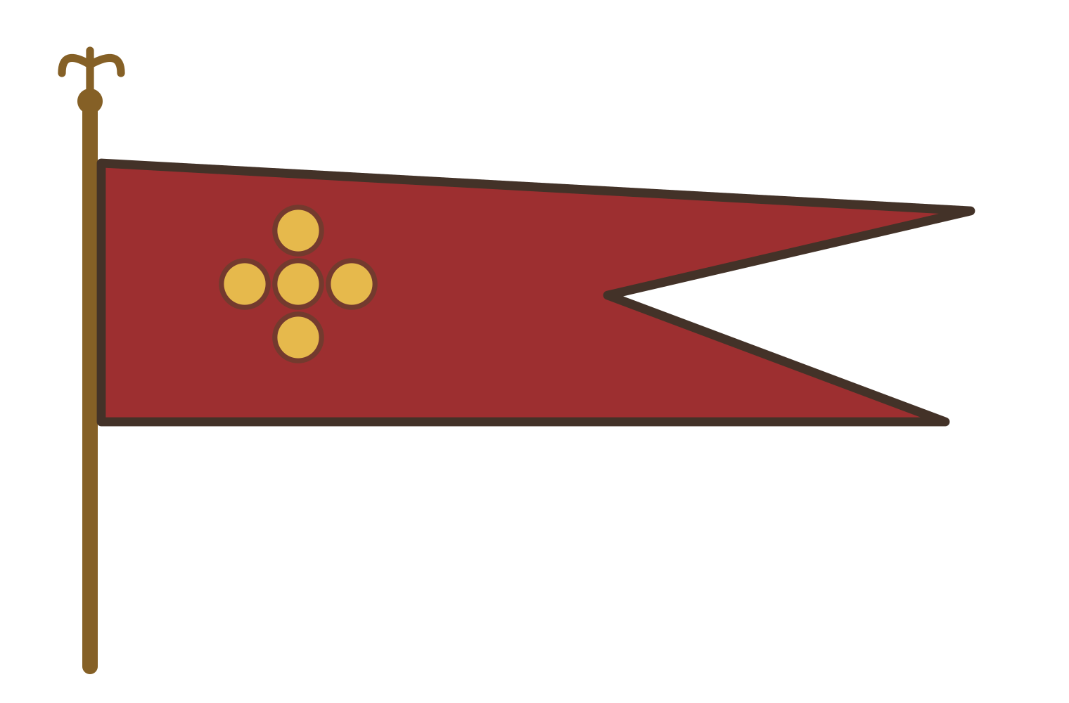
Five clearly visible banners have been redrawn individually from within the emblems. Each drawing shows the side visible on the map. Proportions, shades and fine details are approximate.
How the emblems were redrawn
All sixteen compositions were repainted from figures 41, 43 and 44 in Tornike Asatiani’s book. The colour fields, main figures and their arrangement were retained. Shades and small details were restored artistically using the published reproductions.
The captions follow Asatiani’s identifications and reflect the organisation of the eighteenth-century map. A drawing establishes that Vakhushti associated an emblem with a particular land. Use of that design on a physical banner requires separate evidence.